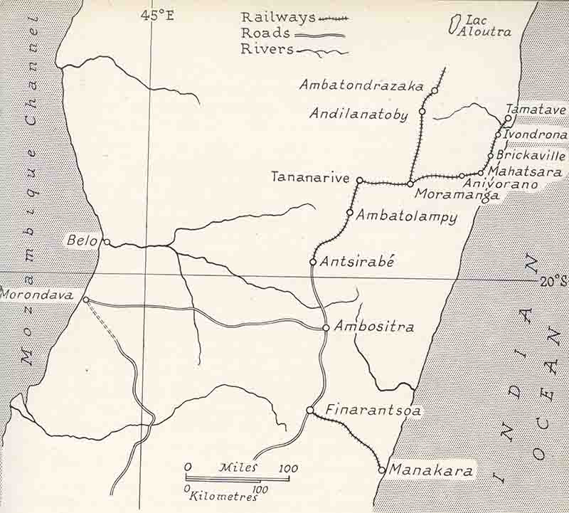
Most lines shown were built by the French over a 20 year period early in the 20th
century, the exception being the isolated line inland from Manakara constructed in the
1930s. Work started on construction of the line north from Moramanga, that was intended
to reach Lac Aloutra, in 1915 and it reached Ambatondrazaka in 1923. In spite of
subsequent sporadic attempts at extension, it never reached the planned terminus.
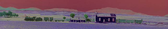
The images below are of a series of postcards from Chris Walker`s collection and
photos by Jeremy Wiseman. The first postcards are of the 60cm gauge Diégo-Suarez
military line on the north of the island.
To view any full size image and caption details please click the maroon button below each thumbnail