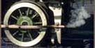
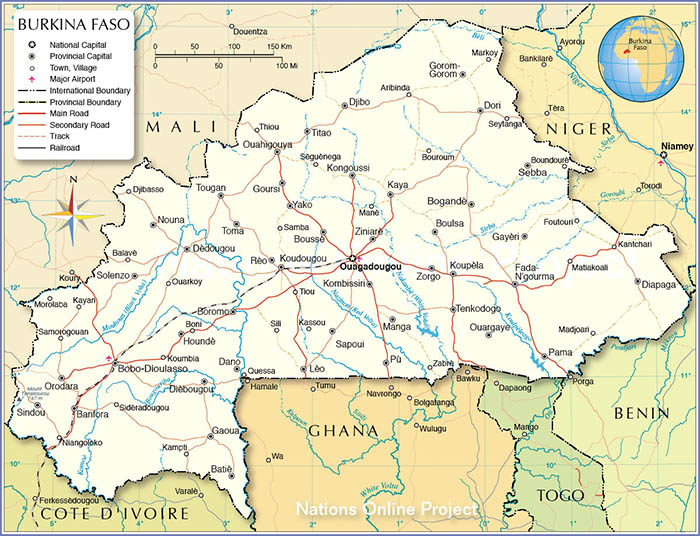

The CF Abidjan-Niger was to eventually connect the port serving Abidjan with
Ouagadougou, the capital of present day Burkina Faso, formerly Upper Volta.
Construction started in 1902 but proceeded very slowly due to bridge construction,
internal strife and two world wars. The line opened to Dimbokro (183kms) in 1910
but did not reach Ouagadougou (1260kms) until 1945. Subsequent lack of maintenance
& road competition has reduced it to a freight operation only in Burkina Faso along
with a limited passenger service in the Cote D' Ivoire.
Information &
pictures of these and other African railways can be obtained at this German site
Fahrplancenter
that includes English captions.
To view any full size image and caption details please click the maroon button below each thumbnail